
The importance of restoration in the fastest rate of mangrove damage
By Dzimar Akbarur Rokhim Prakoso, Remote Sensing Officer YKAN
Indonesia is one of the countries that has the largest area of mangrove forests where this forest is one of the nature-based solution in tackling climate change. The condition of mangroves in Indonesia cannot be separated from deforestation pressures. More than 50% of Indonesia mangrove is lost over the last 30 years, that makes Indonesia has the fastest rate of mangrove destruction in the world (FAO, 2007).
East Kalimantan Province has the third largest mangrove in Indonesia, behind Papua and Riau Province. Mangroves in East Kalimantan experienced great pressure from land conversion into ponds. The history of the East Kalimantan mangrove conversion began around 1970-2000 with a peak in 1980-1990 affecting the coastal regions of the Mahakam Delta, North Penajam Paser, and Paser.
The initial cause of these changes is the existence of migrant movements. The results of the in-depth interview showed that the migration process was the pioneer of new communities and eventually transformed it into a core village, for instance, the villages of Muara Pantuan and Sepatin in Kutai Kartanegara Regency.
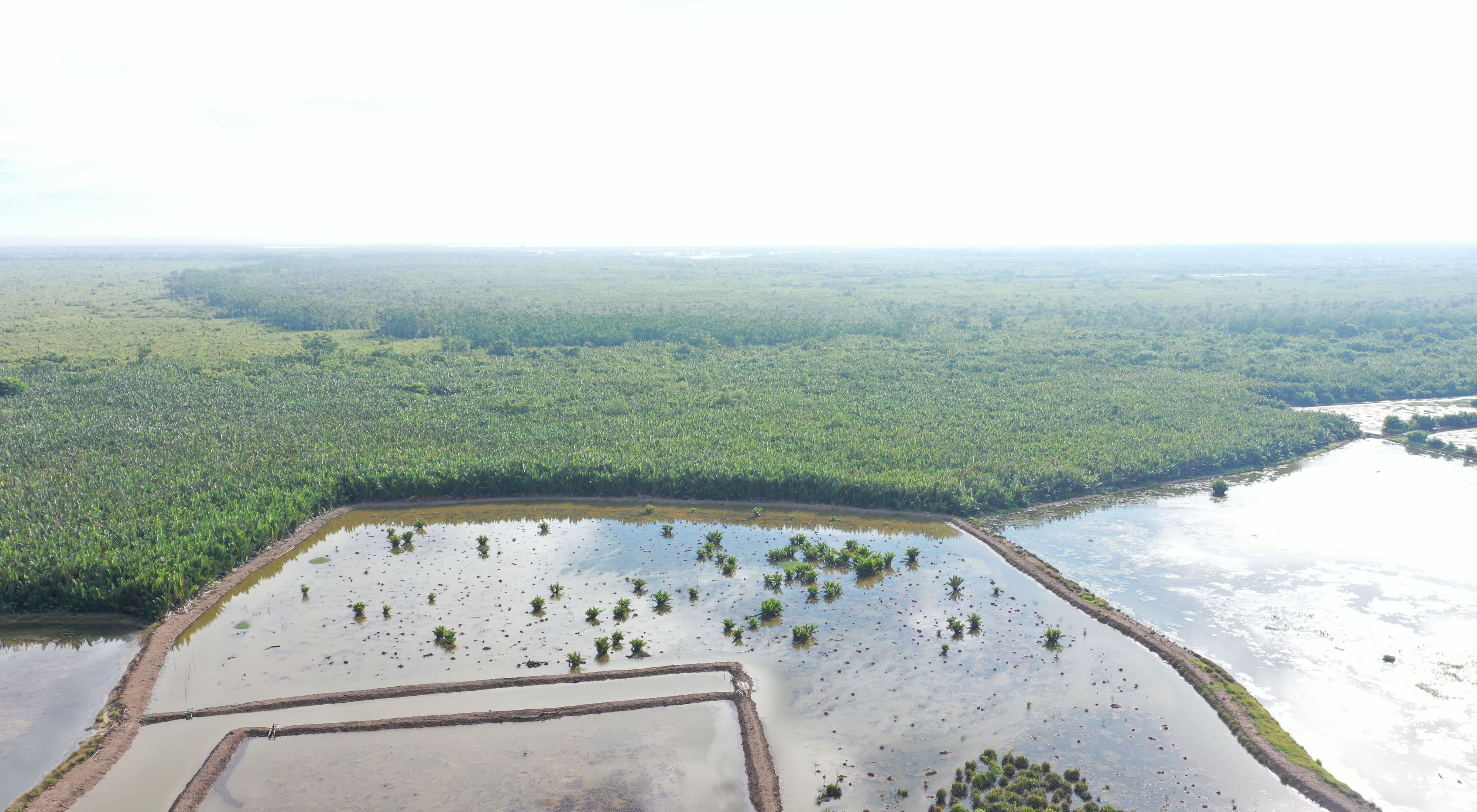
This transformation process also started the conversion of mangrove forest into pond using a traditional tool called Kong. The conversion of the function of the mangrove forest also occurred due to illegal logging which became a massive economic activity specifically in the Mahakam Delta and Balikpapan Bay until it finally stopped in 1970 with the beginning of the Orde Baru period which agreed to oblige a forest concession.
Analysis of Mangrove cover Dynamics
Yayasan Konservasi Alam Nusantara, through Indonesia Oceans Program, developed the mangrove and pond spatial multi-temporal analysis in East Kalimantan using satellite imagery such as Landsat 5 TM which retrieved data in 1990, Landsat 7 ETM+ which use for retrieving data in 2000 and Sentinel 2 which retrieving data in 2019.
Based on the history of mangroves in East Kalimantan, 1990 was identified as the beginning of mangrove deforestation, thus making it baseline data in this study. From 1990-2000 was recorded as the peak deforestation process in East Kalimantan, making the changing process data used as the identifier.
Satellite imagery can optically record objects based on actual conditions in the field so that the analysis and separation process between mangroves and ponds can be carried out. The overall identification of mangrove habitats in East Kalimantan in 1990 had an area of 268,147 Ha, and was reduced to 15% in the 1990-2000 period and decreased again by 5% in 2000-2019.

These results are sufficient to show the process of changing mangrove land occurred in the largest period of 1990-2000 with a total area of degraded mangrove reaching 52,632 Ha and leaving 215,514 Ha alone in the 2019 observation year. In other way, noticeable change of pond occurs between 1990-2000 which considered being the peak period of conversion. It is estimated that 61,083 ha or roughly 70% of the total ponds in 2019 as identified 86,471 hectares in East Kalimantan Province.
In general, the addition of ponds area continued to occur in the period of 2000-2019 but the intensity was drastically reduced. There are at least 3 regions that matched with the results of the in-depth interview process which shows that the Mahakam Delta with an area of 5,462 Ha, North Penajam Paser Regency with an area of 2,385 Ha, and Paser Regency with an area of 852 Ha as the pioneering area aquaculture ponds in East Kalimantan in the 1990 period.

The mangrove deforestation will be more expansive in line with the further away the location is from the estuary of the Mahakam River and the surrounding residential areas. Most of the mangrove loss happens in the delta areas near the coastline.
This shows a variety of conclusions, including that this period might be the saturation point of aquaculture land conversion. It could be something to do with the land availability, regulation, or pressure on the significant rate of change.
Conversion analysis will answer and explain the correlation between the mangrove and pond changes in East Kalimantan province. Overall changes in mangroves to ponds throughout East Kalimantan reached 65% of the total reduction that occurred both in the period 1990-2000 or 2000-2019 and, the dominance of mangroves change into ponds was greatest in the Mahakam Delta region.
80% of the changes in mangrove land that occurred in the period 1990-2000 in the Mahakam Delta were the conversion of mangrove land into ponds and the rest was a reduction due to other activities such as changes to plantations, settlements, and reduction due to damage caused by land clearing activities. While the smallest percentage of the area from the change of mangroves into ponds in the span of 1990-2000 occurred in Bontang city.
This analysis's results are an essential foundation for developing mangrove restoration programs carried out by YKAN through the Mangrove Ecosystem Restoration Alliance (MERA) and Shrip-Carbon Aquaculture (SECURE) program. Priority areas of the location of recent mangrove reduction have become a priority in implementing the mangrove restoration process. In addition, the replication of the method used in this study was also carried out in all regions in Indonesia to help determine the top priority in implementing the mangrove restoration program. The restoration process must also find the potential of the area-area to restore its original function as a mangrove area.
Acknowledgment
The data that shown in this paper based on the YKAN Analysis that conducted in 2019. The authors wish to thank Caterpillar Foundation for funding this study through Yayasan Konservasi Alam Nusantara Indonesia Oceans Program. We would like to also thanks to the entire team of DKP East Kalimantan Province, DKP Berau, DKP Kutai Kartanegara, DP3 Balikpapan and DKP North Penajam Paser for their kind support and assistance during data collection and the field survey.